
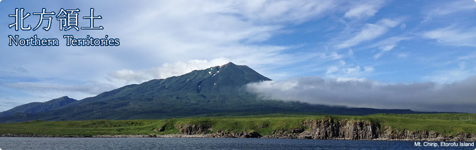
Japanese Territory
Joint Compendium of Documents on the History of Territorial Issue between Japan and Russia
I. PERIOD BEFORE 1855
1. Map of Japan from the Shoho period (1644)
An official publication of the Tokugawa Shogunate (ruler of Japan), based on the map from which the principality of Matsumae defines its territory. It is the oldest map in the world that marks out the islands of Kunashiri, Etorofu, Habomai and Shikotan. Handmade on Japanese paper, measurements: 227.5 cm by 253.7 cm. Belongs to Mr. T. Akioka.
2. "Sketches of the Sea Islands", I. Kozyrevsky (1713)
The island of Kunashir. It is inhabited by the same foreigners as Iturup and Urup; the same religion is observed there; I did not find out whether they speak the same language or have their own; they travel to the island of Matsumae, on which the castle of Matsumae is located, and people from the island of Matsumae come to Kunashir every year to trade their goods. This island is larger than Iturup and Urup and more populous. I did not find out whether the inhabitants of Kunashir are subjects of Matsumae or not. But, the inhabitants of Iturup and Urup are living their own lives, not subject to anyone and engage in free trade.
(The Russian Pacific Epic. Khabarovsk, 1979, p.453)
3. Instruction from the collegium of the Admiralty to G.I. Mulovsky (1787).
Excerpt from the Instruction from the collegium of the Admiralty to G.I. Mulovsky. Captain of the First Rank, leader of the first Russian expedition around the world, on the tasks of the expedition (April 1787)
12. As noted above, when appointing a senior captain, to provide a description of the Kurile Islands, instruct him to do the following:
1) Sail around and describe all the small and large Kurile Islands from Japan to Cape Lopatka of the Kamchatka peninsula, identify them on the map as precisely as possible, and formally include all the islands from the island of Matsumae to the Cape Lopatka under the possession of the Russian state by erecting symbols of the state and burying medallions in the ground in appropriate places with inscriptions in Russian and Latin, to announce his trip and the possession...
(Expeditions in Russia to study the northern part of the Pacific Ocean in the second half of the 18th century, Moscow, 1989, p.236)
4. Effective Japanese administration of the four Northern Islands in the late 18th - early 19th centuries
On the 11th year of the Kansei era (1799) the central Government of Japan sent an order to the principalities of Nanbu and Tsugaru regarding the administration of the land of Ezo. It said that in consideration of the strategic importance of the land of Ezo, the principalities, if the necessity arose, should send their garrisons to the land of Ezo. To begin with, for this year, the principality of Tsugaru was ordered to send 3 officers and 50 infantrymen from garrisons in Hakodate and the principality of Nanbu to send officers and 20 infantrymen. These troops would subsequently be separated into three parts and be put under the command of Shinanokami Matsudaira. Some time later, on November 2 of that same year, the two principalities were ordered again to send 3 commanders and 500 infantrymen to the land of Ezo for the period for which it remained under direct administration of the central government. They were to arm each 10 infantrymen with three rifles and to quarter the solders of the principality of Tsugaru to the East of Sunahara and the soldiers of the principality of Nanbu to the East of Urakawa. This method of defense was employed following the practice of the defense of Nagasaki by forces from the Kurodas and Nabeshimas.
After this, the principalities of Tsugaru and Nanbu established military camps in Hakodate, and the principality of Nanbu founded outposts in Nemuro, on Kunashiri and on Etorofu, and the principality of Tsugaru in Sunahara and Furuibetsu on Etorofu. The two principalities were responsible for the defense of those territories. In April of the 1st year of the Bunka era (1804) the two principalities were ordered to ensure the defense of these territories on a permanent basis. In the 2nd year of this ear (1805), Yasuchika Tsugaru was awarded a salary increase from 40 thousand to 70 thousand koku of rice for his successes in many years of service in the land of Ezo. In February of the 4th of the Bunka era (1807) the central Government of Japan also began to control the western land of Ezo and made the principality of Nanbu responsible for the defense of the eastern land of Ezo, and the principality of Tsugaru responsible for the defense of the western land of Ezo. In the same year a Russian invasion took place, as a result of which both principalities increased the number of their troops and also accepted help from other principalities of the Ou region, which sent their troops. We will go into more detail later. In December of that same year the central Government of Japan sent financial assistance of 7 thousand ryo to the principality of Nanbu and 5 thousand ryo to the principality of Tsugaru. In December of the 5th year of the Bunka era (1808) Toshitaka Nanbu's salary was raised to 100 thousand koku of rice and he was appointed to the post of chamberlain. Yasuchika Tsugaru's salary was also raised to 100 thousand koku, and he was promoted to the rank of Junior Fourth Class and was invited to demonstrate further zeal in state service.
(A New History of Hokkaido, published by the Governor ship of Hokkaido, 2937, Vol. 2 pp. 416-417.)
5. Decree by Emperor Alexander I (1821)
1. The commerce, whaling, fishing and different kinds of industries along the coast of America, extending from the Bering Strait to 51° North, as well as along the Aleutian islands, the east coast of Siberia and the Kurile Islands, extending from the Bering Straits down to the southern cape of the island of Uruppu, that is as far as 45° 50' North, is the exclusive province of Russian subjects.
2. Thus, all foreign ships are forbidden not only to moor at the coasts and islands under Russian authority which are mentioned above, but also to sail within 100 Italian miles of them. All cargoes are confiscated from those who violate this provision.
(Caomplete Code of Laws of the Russian Empire, vol. 37, 1821, p. 904.)
6. Instruction from Emperor Nicholas I to Putiatin (1853)
This is in regard to the letters to the Governor of Nagasaki island and to the Supreme Council of Japan, which were dispatched to Your Honor in sealed packages with Dutch translations included. The Ministry of Foreign Affairs considers it is duty to explain as follows about the contents of the letter to the Supreme Council, which is more important of them:
This letter, which is accompanied by an exact copy (as is the case with the letter to the Governor). In addition to proposing that Japan establish trade relations with us and that Japan allow our trading vessels which will be later allocated (and also, if the necessity arises - our military vessels) to moor in Japanese ports, requests that a border be established between the Russian and Japanese domains. The idea of dealing with the border issue as soon as possible seems highly sound to us: to do so, we can compel the Japanese to enter into negotiations with us by necessity. Otherwise they could, as is their usual fashion, immediately take evasive action and give a negative response. But our desire to clarify the border is the kind of demand they will find difficult to refuse. By posing this question we might provoke the Japanese government to show more compliance.
On the border issue, it is our wish to be as indulgent as possible (without compromising our interests), bearing in mind that the achievement of the other goal - trade benefits is of vital importance to us. The southernmost island of the Kurile Islands that belongs to Russia is Uruppu, which we could identify as the last point of Russian authority in the south - so that from our side, the southern tip of this island would be (as it actually is today) the border with Japan, and from the Japanese side, the northern tip of the island of Etorofu would be considered to be their border. If, contrary to expectation, the Japanese Government starts to lay claim to the island of Uruppu, the fact that the island of Uruppu is shown on all of our maps as the territory of Russia, and that the Russian-American Company, which manages Russian property in American and in the various seas there, not only governs Uruppu in the same way as it does all our other Kurile Islands, but even has a settlement there, is the best evidence of its attribution, and such fact allows us to prove that this island is usually regarded as the border of our territory in the Kurile Islands.
7. Article 2 of the Treaty of Commerce, Navigation and Delimitation between Japan and Russia (1855)
Article 2
Henceforth the border between Japan and Russia will pass between the islands of Etorofu and Uruppu. The whole island of Etorofu belongs to Japan and the whole island of Uruppu, and the Kurile Islands to the north of the island of Uruppu constitute possessions of Russia. As regards the island of Karafuto (Sakhalin), it remains unpartitioned between Japan and Russia, as has been the case up to this time.
Signed in Shimoda, Japan